Horton's halftime iceberg
Blooming Marvellous
Oh well, in for a penny........
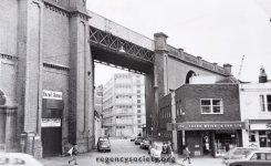
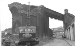
First picture is a view taken from a train going over the Lewes Rd. Viaduct ( looking Northwards towards Brighton Polytechnic Cockcroft Building and Mithras House - Preston Barracks on far left in distance ).
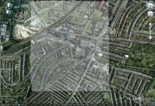
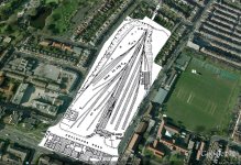
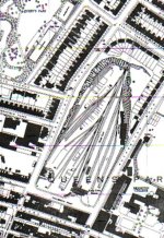
Some fantastic photos love the one taken from the train and also the map showing the Station that is now the Freshfeild business park, covered some land what do you reckon the main building is now where the Bingo car park is.

")